
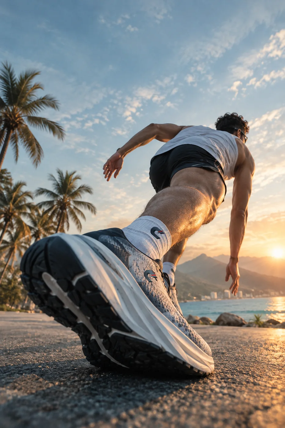
Ziruma Hill
Sunrise climb over the bay
“One hill. Fourteen stations. How fast do you want to know yourself?”
Choose how
Up to the top of the Ziruma and back. Your first hill with a coach.
The profile · 8.01 km · 5.0 mi
119 m up, out and back.
Flat equivalent = distance + 1 km for every 100 m of climbing. It's how I plan your pace before we start.
What's underfoot
- Concrete slabs4.88 km · 3.0 mi · 61%
- Synthetic trail path3.1 km · 1.9 mi · 39%
Along the way
- 0.0km0.0 miMeeting point, the Bay · start5 m
- 0.2km0.1 miSanta Marta sign · start5 m
- 2.8km1.7 miZiruma climb begins11 m
- 4.3km2.7 miZiruma summit · turn around101 m
- 5.9km3.7 miLos Trupillos · on the way back11 m
- 8.0km5.0 miMeeting point · finish9 m
Conditions
On the day it was measured (Jun 2026): 27.4–30.2 °C, humidity 66–81%, gusts up to 57 km/h.
Santa Marta is summer almost all year. The strong breeze usually hits in August and again from December to January. When it does rain, dirt tracks get slippery and we adjust the plan.
Same climb, more bay. For runners who already cover 8 km.
The profile · 10.01 km · 6.2 mi
130 m up, out and back.
Flat equivalent = distance + 1 km for every 100 m of climbing. It's how I plan your pace before we start.
What's underfoot
- Concrete slabs6.8 km · 4.2 mi · 68%
- Synthetic trail path3.2 km · 2.0 mi · 32%
Along the way
- 0.0km0.0 miMeeting point, the Bay · start10 m
- 2.9km1.8 miZiruma climb begins15 m
- 4.5km2.8 miZiruma summit · turn around110 m
- 6.1km3.8 miLos Trupillos · on the way back18 m
- 9.3km5.8 miSanta Marta sign · start14 m
- 10.0km6.2 mi10 km done, the Bay15 m
Conditions
On the day it was measured (Jun 2026): 27.7–30.1 °C, humidity 70–75%, gusts up to 46 km/h.
Santa Marta is summer almost all year. The strong breeze usually hits in August and again from December to January. When it does rain, dirt tracks get slippery and we adjust the plan.
Over the summit to the Rodadero side and back: two climbs. 11.6 km of route plus a warm-up on the bay to make it 12. For runners who already cover 10 km.
The profile · 11.56 km · 7.2 mi
195 m up, out and back.
Flat equivalent = distance + 1 km for every 100 m of climbing. It's how I plan your pace before we start.
What's underfoot
- Concrete slabs5.46 km · 3.4 mi · 47%
- Synthetic trail path6.09 km · 3.8 mi · 53%
Along the way
- 0.0km0.0 miSanta Marta sign · start7 m
- 2.4km1.5 miZiruma climb begins8 m
- 3.9km2.4 miZiruma summit98 m
- 5.4km3.4 miPuma station · turnaround0 m
Conditions
On the day it was measured (Feb 2026): 25.2–28.9 °C, humidity 60–75%, gusts up to 54 km/h.
Santa Marta is summer almost all year. The strong breeze usually hits in August and again from December to January. When it does rain, dirt tracks get slippery and we adjust the plan.
Your first session with me in Santa Marta. We run along the bay and up the Ziruma, a hill trail with a soft synthetic path, viewpoints over the city and fourteen stations named after the animals of the dry forest.
Choose your distance. The 8K and 10K turn at the top of the Ziruma; the 12K goes over to the Rodadero side and back, two real climbs. Short, honest hills, and the bay waking up below you.
Included
- Coached training session, one-on-one or small group
- Pre-session check: health questionnaire and pace plan
- Water and electrolytes on the trail
- The GPX of your route after the session
Private session, private transfer or bike rental? Quoted on request. Write me →
Bring
- Running shoes
- Cap and sunscreen
- A small bottle