
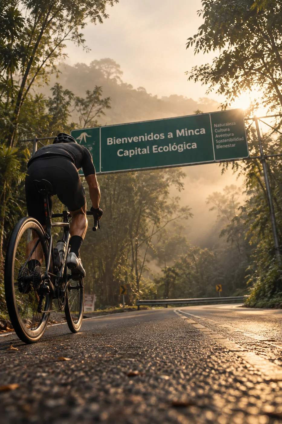
Reto Minca
Ride from the sea into the Sierra
“The Sierra starts where the road tilts up. How far will you ride it?”
Choose how
The straight climb to Minca, without crossing the city.
The profile · 29.06 km · 18.1 mi
645 m up, out and back.
What's underfoot
- Concrete slabs2.65 km · 1.6 mi · 9%
- Asphalt, good condition26.4 km · 16.4 mi · 91%
Along the way
- 0.0km0.0 miMamatoco roundabout · start34 m
- 1.0km0.6 miParques de Bolívar · climb begins40 m
- 3.3km2.1 miFirst leg-breaker dip79 m
- 4.5km2.8 miSecond dip122 m
- 6.0km3.7 miHard section130 m
- 7.3km4.6 miLa Tigrera · last shops189 m
- 11.0km6.8 miViewpoint428 m
- 14.2km8.8 miMinca, 608 m · Sierra coffee606 m
Conditions
On the day it was measured (Jan 2022): 24.6–29.6 °C, humidity 54–75%, gusts up to 57 km/h.
The Sierra has no fixed season: it is jungle, and it rains all year. It can be sunny in Minca and raining two kilometers up. Rain washes dirt and stones onto the road, so we ride and walk with care, especially downhill. Higher up, nights are cold: bring a warm layer.
The classic: out of the city and up to Minca.
The profile · 40.38 km · 25.1 mi
670 m up, out and back.
What's underfoot
- Concrete slabs13.81 km · 8.6 mi · 34%
- Asphalt, good condition26.53 km · 16.5 mi · 66%
Along the way
- 0.0km0.0 miSanta Marta · start14 m
- 5.1km3.2 miMamatoco roundabout34 m
- 6.0km3.8 miParques de Bolívar · climb begins40 m
- 8.3km5.2 miFirst leg-breaker dip79 m
- 9.5km5.9 miSecond dip122 m
- 11.0km6.9 miHard section130 m
- 12.4km7.7 miLa Tigrera · last shops189 m
- 16.0km10.0 miViewpoint426 m
- 19.2km11.9 miMinca, 608 m · Sierra coffee608 m
Conditions
On the day it was measured (Jan 2022): 27.7–30.3 °C, humidity 56–66%, gusts up to 54 km/h.
The Sierra has no fixed season: it is jungle, and it rains all year. It can be sunny in Minca and raining two kilometers up. Rain washes dirt and stones onto the road, so we ride and walk with care, especially downhill. Higher up, nights are cold: bring a warm layer.
For riders who want a full morning in the saddle.
The profile · 55.16 km · 34.3 mi
744 m up, out and back.
What's underfoot
- Concrete slabs13.24 km · 8.2 mi · 24%
- Smooth asphalt3.05 km · 1.9 mi · 6%
- Highway pavement12.02 km · 7.5 mi · 22%
- Asphalt, good condition26.79 km · 16.6 mi · 49%
Along the way
- 0.0km0.0 miSanta Marta · start33 m
- 3.1km2.0 miLos Trupillos · Ziruma climb begins11 m
- 4.7km2.9 miZiruma summit · viewpoint95 m
- 6.9km4.3 miEl Rodadero15 m
- 9.0km5.6 miOnto the Troncal highway14 m
- 15.0km9.3 miLa Lucha roundabout23 m
- 15.6km9.7 miUniversidad del Magdalena26 m
- 16.0km10.0 miBus terminal27 m
- 18.1km11.3 miMamatoco roundabout34 m
- 25.4km15.8 miLa Tigrera · last shops197 m
- 29.1km18.1 miViewpoint440 m
- 32.7km20.3 miMinca629 m
- 47.0km29.2 miMamatoco roundabout · on the way back35 m
- 55.2km34.3 miSanta Marta · start9 m
Conditions
On the day it was measured (Jan 2022): 25.3–29.9 °C, humidity 53–64%, gusts up to 57 km/h.
The Sierra has no fixed season: it is jungle, and it rains all year. It can be sunny in Minca and raining two kilometers up. Rain washes dirt and stones onto the road, so we ride and walk with care, especially downhill. Higher up, nights are cold: bring a warm layer.
Minca is a mountain village at about 600 m, in the foothills of the Sierra Nevada. From the coast, the road climbs steadily the whole way: you leave the heat of the city behind and ride into green, cooler air.
Pick your start. From Mamatoco it's the climb and nothing else; from Santa Marta you add the ride out of the city; the long way loops through Ziruma and El Rodadero first. At the top we stop in Minca, then it's all downhill back to the sea.
Included
- Coached ride, one-on-one or small group
- Pre-ride check: health questionnaire, bike fit and pacing plan
- Water, electrolytes and a snack stop
- The GPX of your ride afterwards
- Coffee stop in Minca
Private session, private transfer or bike rental? Quoted on request. Write me →
Bring
- Your bike in good shape (we check the setup with you)
- Helmet
- Cap, sunscreen and a light jacket for the descent
- Two bottles