
Minca → la Y
Past Minca, on the road to La Tagua
“Minca is where most riders stop. That's where this ride begins.”
Choose how
934 m of climbing in 12 km. Short and very hard.
The profile · 23.57 km · 14.6 mi
934 m up, out and back.
What's underfoot
- Paved road1.98 km · 1.2 mi · 8%
- Concrete wheel tracks21.48 km · 13.3 mi · 92%
Along the way
- 0.0km0.0 miMinca614 m
- 4.7km2.9 miPozo Azul turn-off · river pools968 m
- 7.6km4.7 miAsadero Camarita1,214 m
- 8.5km5.3 miEl Campano1,274 m
- 11.7km7.3 miLa Y, Cincinnati · top1,488 m
Conditions
On the day it was measured (Oct 2026): 26.8–29.2 °C, humidity 74–75%, gusts up to 21 km/h.
The Sierra has no fixed season: it is jungle, and it rains all year. It can be sunny in Minca and raining two kilometers up. Rain washes dirt and stones onto the road, so we ride and walk with care, especially downhill. Higher up, nights are cold: bring a warm layer.
Over 1,500 m of climbing. For riders with big days in their legs.
The profile · 52.66 km · 32.7 mi
1585 m up, out and back.
What's underfoot
- Concrete slabs2.65 km · 1.6 mi · 5%
- Asphalt, good condition26.38 km · 16.4 mi · 50%
- Paved road1.97 km · 1.2 mi · 4%
- Concrete wheel tracks21.48 km · 13.3 mi · 41%
Along the way
- 0.0km0.0 miMamatoco roundabout · start34 m
- 1.0km0.6 miParques de Bolívar · climb begins40 m
- 3.3km2.1 miFirst leg-breaker dip79 m
- 4.5km2.8 miSecond dip122 m
- 6.0km3.7 miHard section130 m
- 7.3km4.6 miLa Tigrera · last shops189 m
- 11.0km6.8 miViewpoint428 m
- 14.2km8.8 miMinca, 608 m · Sierra coffee606 m
- 18.9km11.7 miPozo Azul turn-off · river pools968 m
- 21.8km13.5 miAsadero Camarita1,214 m
- 22.7km14.1 miEl Campano1,274 m
- 25.9km16.1 miLa Y, Cincinnati · top1,487 m
Conditions
On the day it was measured (Oct 2026): 26.8–31.1 °C, humidity 73–80%, gusts up to 27 km/h.
The Sierra has no fixed season: it is jungle, and it rains all year. It can be sunny in Minca and raining two kilometers up. Rain washes dirt and stones onto the road, so we ride and walk with care, especially downhill. Higher up, nights are cold: bring a warm layer.
The full ride from the sea to la Y and back.
The profile · 64.15 km · 39.9 mi
1609 m up, out and back.
What's underfoot
- Concrete slabs13.81 km · 8.6 mi · 22%
- Asphalt, good condition26.31 km · 16.3 mi · 41%
- Paved road2.12 km · 1.3 mi · 3%
- Concrete wheel tracks21.64 km · 13.4 mi · 34%
Along the way
- 0.0km0.0 miSanta Marta · start14 m
- 5.1km3.2 miMamatoco roundabout34 m
- 6.0km3.8 miParques de Bolívar · climb begins40 m
- 8.3km5.2 miFirst leg-breaker dip79 m
- 9.5km5.9 miSecond dip122 m
- 11.0km6.9 miHard section130 m
- 12.4km7.7 miLa Tigrera · last shops189 m
- 16.0km10.0 miViewpoint426 m
- 19.2km11.9 miMinca, 608 m · Sierra coffee608 m
- 23.9km14.8 miPozo Azul turn-off · river pools956 m
- 26.8km16.6 miAsadero Camarita1,209 m
- 27.7km17.2 miEl Campano1,270 m
- 30.9km19.2 miLa Y, Cincinnati · top1,477 m
Conditions
On the day it was measured (Oct 2026): 26.9–31.2 °C, humidity 73–80%, gusts up to 27 km/h.
The Sierra has no fixed season: it is jungle, and it rains all year. It can be sunny in Minca and raining two kilometers up. Rain washes dirt and stones onto the road, so we ride and walk with care, especially downhill. Higher up, nights are cold: bring a warm layer.
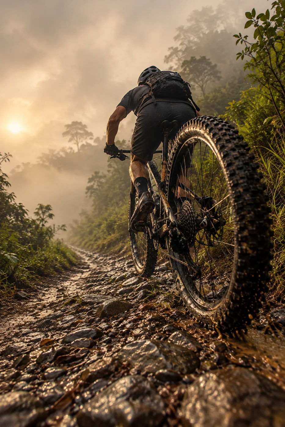
Past Minca the road keeps climbing toward La Tagua, with grades up to 20%, until la Y, near Cincinnati, at almost 1,500 m. Up there, a roadside shop with a view that stops you cold: a pool table, bathrooms, a tinto, something to eat, the photos, and back down.
Start in Minca for the climb alone, or ride it all from the coast: from Mamatoco or Santa Marta it becomes a full day and more than 1,500 m of climbing. Epic, in the literal sense.
Included
- Coached ride, one-on-one or small group
- Pre-ride check: health questionnaire, bike fit and pacing plan
- Water, electrolytes and a snack stop
- The GPX of your ride afterwards
Private session, private transfer or bike rental? Quoted on request. Write me →
Bring
- Your bike in good shape, with climbing gears (we check the setup with you)
- Helmet
- Rain jacket
- Two bottles and food for the day