
Inca Inca
A hidden beach you have to earn
“Hidden beaches are always a treasure. This one, you have to earn.”
Choose how
Short but steep: grades over 20%. Good shoes and a steady pace are enough.
The profile · 4.73 km · 2.9 mi
302 m up, out and back.
Flat equivalent = distance + 1 km for every 100 m of climbing. It's how I plan your pace before we start.
What's underfoot
- Concrete slabs0.5 km · 0.3 mi · 11%
- Dirt track3.72 km · 2.3 mi · 79%
- Fine sand0.47 km · 0.3 mi · 10%
Along the way
- 0.0km0.0 miEl Rodadero, near Puma station · start17 m
- 0.5km0.3 miConcrete ends, dirt track begins26 m
- 1.0km0.6 miClimb begins16 m
- 1.8km1.1 miFirst high point112 m
- 2.3km1.4 miInca Inca beach22 m
- 3.5km2.2 miHighest point, on the way back138 m
- 4.7km2.9 miEl Rodadero · finish5 m
Conditions
On the day it was measured (Jan 2022): 29.1–30.4 °C, humidity 57–67%, gusts up to 57 km/h.
Santa Marta is summer almost all year. The strong breeze usually hits in August and again from December to January. When it does rain, dirt tracks get slippery and we adjust the plan.
Two laps of the Inca Inca hill, about 600 m of climbing. Warm-up on the El Rodadero boardwalk; on the second lap, the sea is your recovery.
The profile · 9.87 km · 6.1 mi
615 m up, out and back.
Flat equivalent = distance + 1 km for every 100 m of climbing. It's how I plan your pace before we start.
What's underfoot
- Concrete slabs1 km · 0.6 mi · 11%
- Dirt track7.42 km · 4.6 mi · 79%
- Fine sand0.95 km · 0.6 mi · 10%
Along the way
- 0.0km0.0 miEl Rodadero · start17 m
- 1.8km1.1 miFirst high point112 m
- 2.3km1.4 miInca Inca beach · lap 122 m
- 3.5km2.2 miHighest point, on the way back138 m
- 4.7km2.9 miEl Rodadero · end of lap 16 m
- 6.9km4.3 miFirst high point · lap 2112 m
- 7.4km4.6 miInca Inca beach · swim to loosen the legs21 m
- 8.7km5.4 miHighest point · lap 2137 m
- 9.9km6.1 miEl Rodadero · finish6 m
Conditions
On the day it was measured (Jan 2022): 25.5–25.5 °C, humidity 70–70%, gusts up to 45 km/h.
Santa Marta is summer almost all year. The strong breeze usually hits in August and again from December to January. When it does rain, dirt tracks get slippery and we adjust the plan.
For runners who already cover 15 km comfortably.
The profile · 16.02 km · 10.0 mi
405 m up, out and back.
Flat equivalent = distance + 1 km for every 100 m of climbing. It's how I plan your pace before we start.
What's underfoot
- Concrete slabs6.53 km · 4.1 mi · 41%
- Synthetic trail path6.1 km · 3.8 mi · 38%
- Hard dirt track3.38 km · 2.1 mi · 21%
Along the way
- 0.0km0.0 miSanta Marta sign · start7 m
- 2.4km1.5 miZiruma climb begins8 m
- 3.9km2.4 miZiruma summit98 m
- 5.4km3.4 miPuma station · end of Ziruma2 m
- 6.0km3.7 miInca Inca climb begins10 m
- 7.7km4.8 miInca Inca beach5 m
Conditions
On the day it was measured (Feb 2026): 25.2–28.9 °C, humidity 60–75%, gusts up to 54 km/h.
Santa Marta is summer almost all year. The strong breeze usually hits in August and again from December to January. When it does rain, dirt tracks get slippery and we adjust the plan.
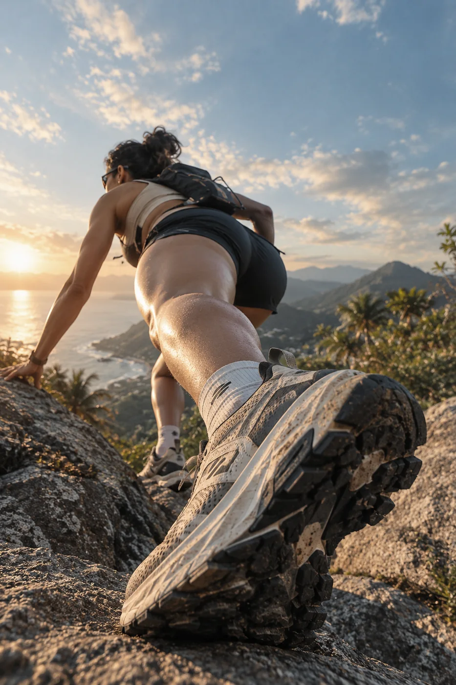
Inca Inca is a small beach tucked between the hills south of Santa Marta. There's no easy way in: you reach it on foot, over a hard dirt track that climbs and drops straight to the sea.
Choose how you get there. Hike it from El Rodadero, short and steep. Take on the Reto 10K: two laps of the hill with a swim on the second. Or run it from the Bay over the Ziruma hill trail, the full 16 km. Either way, there's a swim waiting at the bottom and a climb waiting after it.
Included
- Coached training session, one-on-one or small group
- Pre-session check: health questionnaire and pace plan
- Water and electrolytes on the trail
- The GPX of your route after the session
- Swim stop at Inca Inca beach
Private session, private transfer or bike rental? Quoted on request. Write me →
Bring
- Trail shoes with grip
- Cap and sunscreen
- Swimsuit
- A small bottle or vest