
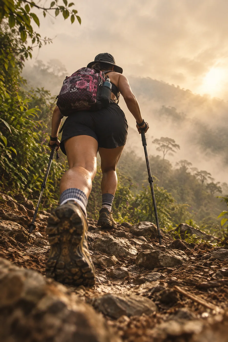
Cerro Kennedy
From sea level to 2,800+ m
“You wake up by the Caribbean. Two days later you watch the sunrise from 2,817 m.”
For hikers used to long days on steep ground. On the summit push, heart rate climbs to 170–190 bpm.
Day 1 · Climb to Moncho
The profile · 12.89 km · 8.0 mi
1048 m up, one way.
Flat equivalent = distance + 1 km for every 100 m of climbing. It's how I plan your pace before we start.
Day 2 · Sunrise summit and descent
The profile · 7.15 km · 4.4 mi
380 m up, out and back.
Flat equivalent = distance + 1 km for every 100 m of climbing. It's how I plan your pace before we start.
The profile · 12.91 km · 8.0 mi
47 m up, one way.
Flat equivalent = distance + 1 km for every 100 m of climbing. It's how I plan your pace before we start.
What's underfoot
- Rough trail: rock, mud and dirt12.82 km · 8.0 mi · 100%
- Rough trail: rock, mud and dirt12.87 km · 8.0 mi · 100%
Along the way
- 0.0km0.0 miLa Y · trailhead1,509 m
- 11.8km7.4 miEl Ramo hostel2,419 m
- 12.9km8.0 miMoncho · mountain hostel2,519 m
- 0.0km0.0 miMoncho2,515 m
- 3.5km2.2 miSummit · military antennas, 2,817 m2,817 m
- 7.2km4.4 miMoncho2,522 m
- 0.0km0.0 miMoncho · mountain hostel2,512 m
- 1.1km0.7 miEl Ramo hostel2,415 m
- 12.9km8.0 miLa Y · trailhead1,509 m
Conditions
On the day it was measured (Oct 2026): 11.9–23.3 °C, humidity 77–97%, gusts up to 27 km/h.
The Sierra has no fixed season: it is jungle, and it rains all year. It can be sunny in Minca and raining two kilometers up. Rain washes dirt and stones onto the road, so we ride and walk with care, especially downhill. Higher up, nights are cold: bring a warm layer.
Two days, one night, and more than 1,400 m of climbing through cloud forest. Day one takes you from la Y up to Moncho, a simple mountain hostel where we spend the night high in the Sierra. Up and down, the trail crosses 32 streams, springs and small waterfalls.
Day two starts in the dark, around 4:00. We climb to the military antennas on the summit, 2,817 m. Facing southeast, the Sierra rolls on toward Valledupar; turn east and you see the snow peaks Bolívar and Colón; look north and it's Santa Marta, Ciénaga and the port, and on a clear day, Barranquilla. Then we walk all the way back down.
Included
- Coached hike with Cami, from la Y to the summit
- Pre-trip check: health questionnaire and pacing plan
- Night at Moncho
- Water and trail food
- The GPX of your route afterwards
Private session, private transfer or bike rental? Quoted on request. Write me →
Bring
- Hiking boots
- Warm layer and rain jacket
- Headlamp for the night climb
- Hydration pack